
Park Maps & Getting Around
Park Maps & Getting Around
Plan Your Visit

Explore Zion
Park Maps
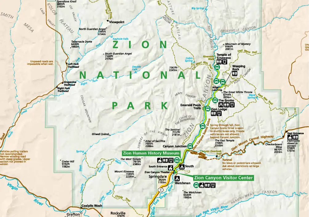
While Zion National Park covers 146,597 acres, most people spend their time in Zion Canyon, making it the most popular and busy part of the park. To learn more about Zion National Park and view maps, visit the park website.

Getting Around
Zion Canyon Line Shuttle
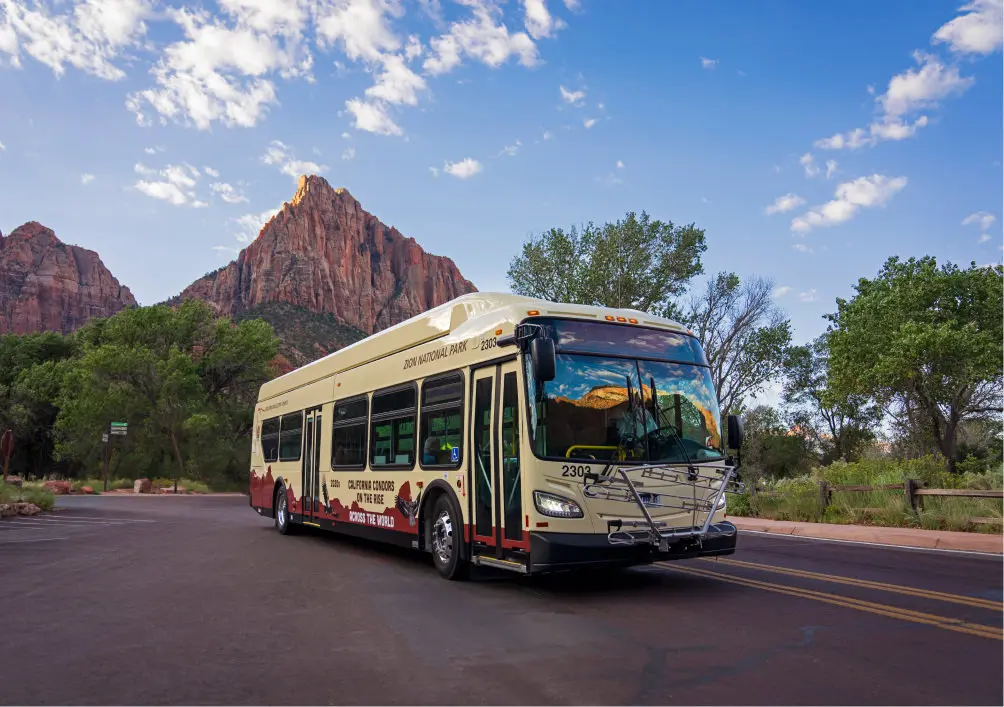
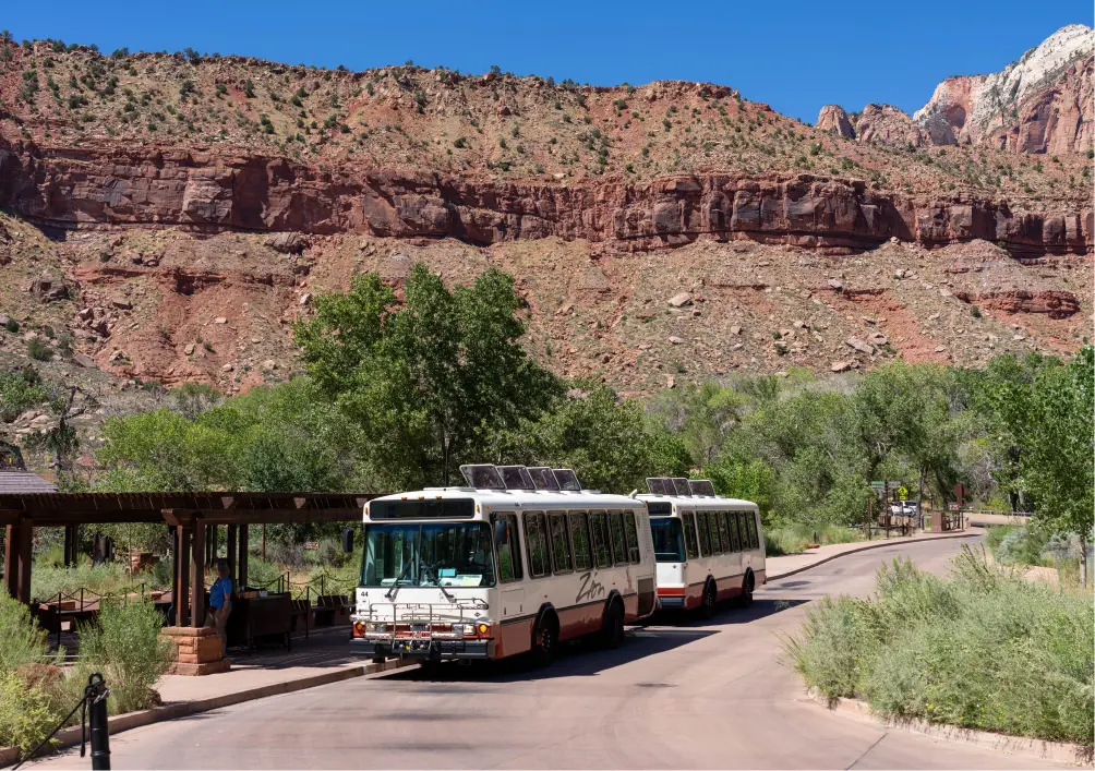
In order to better protect and preserve Zion, the National Park Service limits vehicle traffic in Zion Canyon during peak visitation periods. From March through November and during the winter holiday season, the Service operates a free shuttle that runs from Zion Canyon Visitor Center to the Temple of Sinawava with stops along the way.

Visiting Springdale
Springdale Line Shuttle
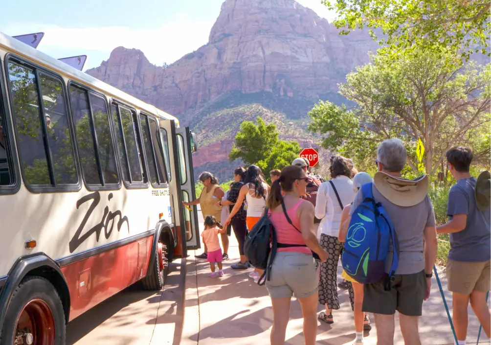
The free Springdale Line shuttle connects the nearby town of Springdale to the Zion Canyon Shuttle. Please click below for the Springdale Line schedule and stops.

Zion Canyon
Driving & Parking
Zion Canyon Scenic Drive is closed to vehicles March through November and during the winter holiday season unless you are an overnight guest of Zion Lodge. Overnight guests may drive as far as the lodge and park in designated areas. All other visitors must park near Zion Canyon Visitor Center or in the town of Springdale and take the shuttle.

Be Aware
Zion-Mt. Carmel Tunnel
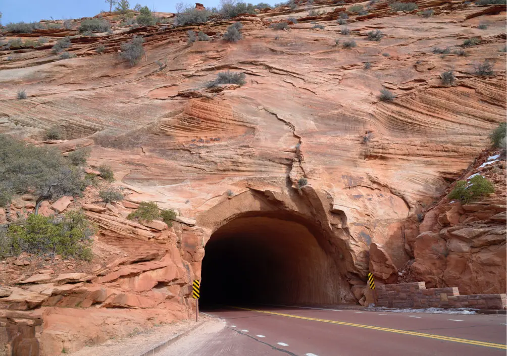
When approaching the tunnel from either direction, slow down and do not leave your vehicle if traffic stops. Pay attention to park rangers, pedestrians, and other traffic when present. Obey all traffic instructions from rangers. Do not stop in the tunnel or try to turn around at either tunnel entrance. Pedestrians and bicycles are not allowed in the tunnel.

Please Note
Entrance Fee
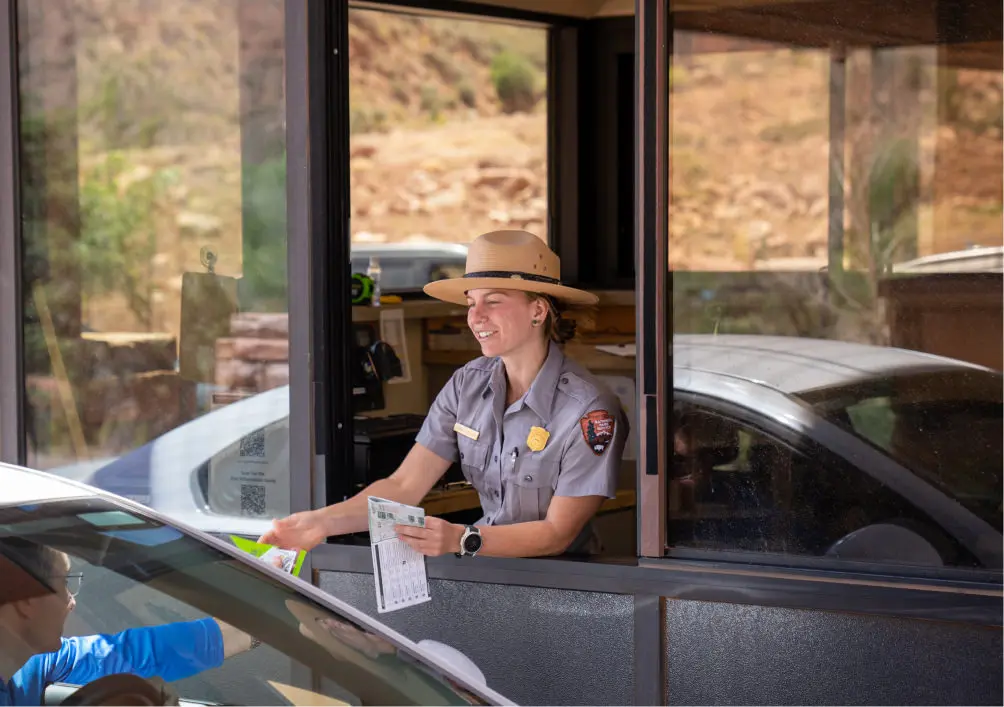
To enter Zion National Park, all visitors must purchase a Standard Pass, or hold an Annual Pass, America the Beautiful Pass, Military Pass, or Lifetime Pass, even if you are a guest of Zion Lodge
